Fort St. Pierre designated National Historic Landmark
Published 7:31 pm Saturday, January 5, 2019
The site of Fort St. Pierre, built in 1719 by the French to protect their territory, is no longer anonymous to passing motorists on Mississippi 3.
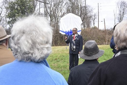
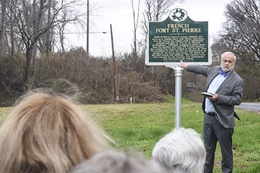
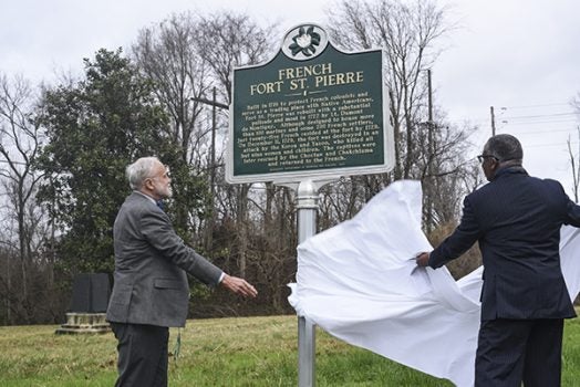
Friday morning members of the Fort St. Pierre Tercentenary Planning Commission and a small group of city and county residents stood on the site of the fort and unveiled a state historic marker commemorating its designation as a National Historic Landmark.
“We’re to mark this ground as hallowed ground like never before,” said Mayor George Flaggs Jr., a supporter of the events marking the Fort’s 300th anniversary.
“There’s only a few sites in Vicksburg that have national historical markers. There’s so much history in Vicksburg. Vicksburg is history by itself and everything about it.”
Nancy Bell, executive director of the Vicksburg Foundation for Historic Preservation, said she was pleased to see the marker, adding, “It’s a long time in coming; there should have been one out here for years. I’m so excited to have a marker here.
“I’m grateful to the people and organizations who helped us financially so we could finally get one put up. There’s only three National Historic Landmarks (in Vicksburg),” she said. “We have plenty of National Register properties, but National Historic Landmark is the highest designation you can get.”
Dr. Ian Brown, a professor of anthropology at the University of Alabama who discovered the fort’s location and was involved in archeological excavations at the site in the 1970s, called the activity to recognize and preserve the fort “fantastic.” Brown wrote the application for the site’s National Historic Landmark designation.
“When I excavated at the fort, it was only five years after the 250th anniversary, and now we’re at the 300th,” he said after the program. “To have this (marker), which is very evident from the road, I think it will really help bring the history of this place to the citizens of Vicksburg and the state. It’s a very important site.”
Dr. Fred Brieur, retired research archeologist with the U.S. Army Corps of Engineers Engineer Research and Development Center and chairman of the Fort St. Pierre Tercentenary Planning Commission, said the site of Fort St. Pierre extended north and south along Mississippi 3.
He pointed to a hill several yards behind the marker. “The main part of the fort is located on that hilltop. We would be standing in the garden area that (fort founder) Lt. Dumont mapped in his exquisite map of 1720. Where we’re standing, we would be facing the south wall.”
The marker, he said, is on Mississippi Department of Transportation property, pointing out the site is also the only protected portion of a Civil War salient that began at Hayes Bluff and went into Vicksburg.
He said future plans call for a thorough geophysical survey of the area around the site and more archeological digs at the fort.
The goal, he said is to one day have a replica of the fort on the site.
“This would make a wonderful place for people to come out and actually see what the fort looked like in 1729 (before its destruction),” Brieur said.
Built on a site near Mississippi 3 north of the Redwood community, Fort St. Pierre and Fort Rosalie in Natchez were built to deter English traders from moving in the Lower Mississippi Valley and challenging the French sphere of influence.
Fort St. Pierre was occupied for 11 years before an uprising among members of the Natchez tribe in 1729 attacked both St. Pierre and Rosalie, massacring the inhabitants of both forts and burning them to the ground.


