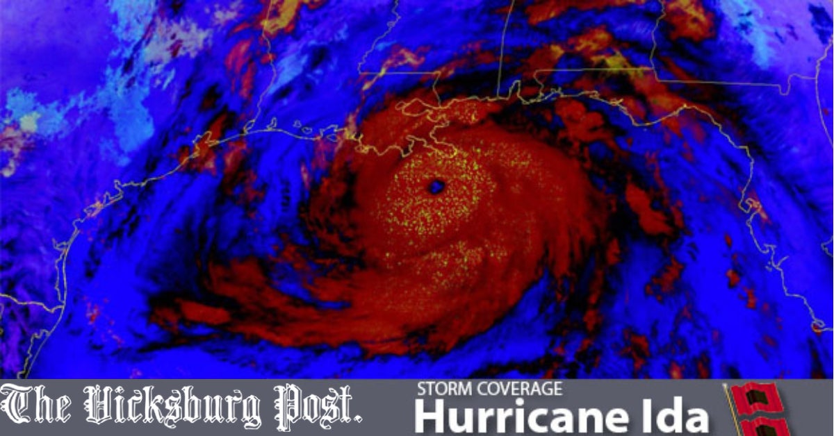
“Worst storm to hit the Gulf Coast”: Warren County Emergency Management holds briefing ahead of Hurricane Ida
Published 1:29 pm Sunday, August 29, 2021
UPDATE 3:28 p.m.: To self-report damage that takes place in Warren County, please click here to access the Emergency Management Agency link.
As Warren County prepares for Hurricane Ida to arrive, the county emergency management association held a briefing late Sunday morning.
According to the National Weather Service office in Jackson, Ida is “one of the strongest hurricanes to ever make landfall along the Gulf Coast.”
With winds of 150 miles per hour, Category 4 Hurricane Ida made landfall on the Louisiana coast at 11:55 a.m. Sunday. Since Saturday, the track of the storm shifted slightly east, placing Warren County on the west side of the storm.
“I think the winds will be our biggest challenge, 3 a.m. through 4 p.m.,” EMA Director John Elfer said. “We could see some tropical-force winds. After midnight, conditions are going to go down.”
The National Weather Service said the storm will be worst for those east of the Interstate 55 Corridor.
While cities like Natchez are anticipated to see hurricane-force winds, Warren County is currently under a Tropical Storm Warning. The threat to Warren County will begin in the early hours on Monday and continue into Monday night. Residents can anticipate wind gusts of 75 mph.
Warren County is in an elevated threat area, meaning there is a high chance of downed trees and damaged power lines, some anticipated damage to roofs and homes and many blocked roads.
There is also a high possibility of power and communications outages lasting for several days, according to the NWS.
Local emergency services will be on alert beginning at 9 p.m. Sunday through Monday evening, with the worst of the storm anticipated to hit the area at approximately 9 to 11 a.m. through 1 p.m. Monday. Between six and 12 inches of rain are possible. Some flooding is anticipated along the Big Black River.
Warren County is expected to have a slight to moderate risk of tornadoes due to the hurricane, most likely between midday Sunday and early Tuesday morning.
“The biggest takeaway in this whole thing is life safety,” Elfer said. “Safety of the public, safety of the first responders.”
The Warren County fire department will increase its staffing from 7 p.m. Sunday through 7 p.m. Monday.
Hinds Community College and Vicksburg Warren School District will both be closed on Monday.
All non-essential Warren County employees will shelter-in-place.
No designated storm shelters have been opened, as of Sunday afternoon at 1 p.m.
There are sandbags and sand available at the Culkin Volunteer Fire Department and at the Goodrum Fire Station.


